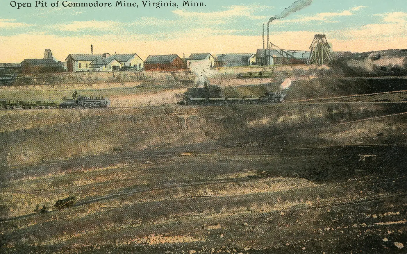
Technical services and spatial intelligence (GIS)
Mapping of routes, pipelines and territorial assets: georeferenced information for decisions made in the field, not in the office.
A service line we are bringing on. It is defined project by project: we have no previous cases to show you, and we would rather say so up front than later.
Ask about a surveyWhat it covers
- Survey and mapping of access routes
- Georeferencing of assets and territorial infrastructure
- Routing and monitoring of pipelines and lines
- Delivery in standard geographic information system formats
What it does not cover
- We do not carry out geological reserve studies or resource certification
- We do not replace a legal topographic survey for title procedures
How it works
- 01Scope
What area, what level of detail, and for which decision it will be used. The level of detail is what drives the cost, not the size of the area.
- 02Proposal
We tell you what can be surveyed, by what method, in what time and with what equipment. If any part of the scope is beyond us, the proposal says so.
- 03Fieldwork and delivery
Fieldwork and delivery in the format your team already uses.
What we need in order to answer you
With this we can tell you whether it is feasible and what comes next. Without it, any answer of ours would be generic.
- Area or approximate coordinates
- Which decision depends on that information
- The format your team works in today
Other services
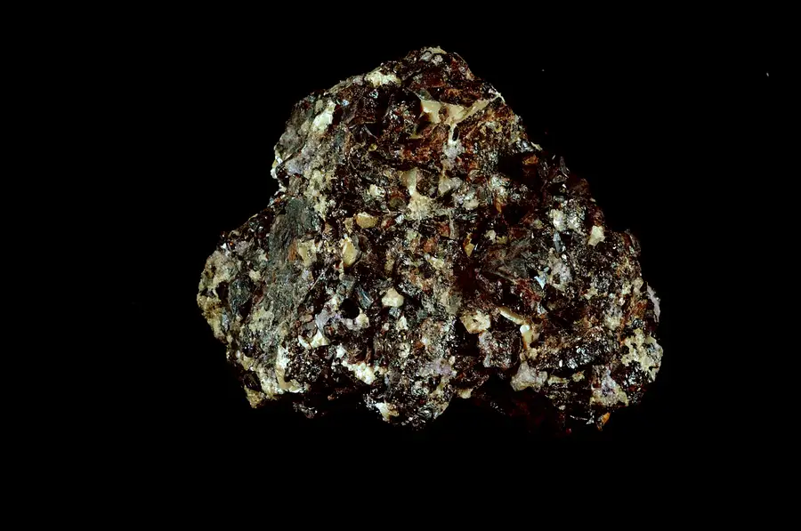
Supply chain
We connect the international buyer with producers and mines in Venezuela, and stay with the operation from the first conversation to shipment.
View the service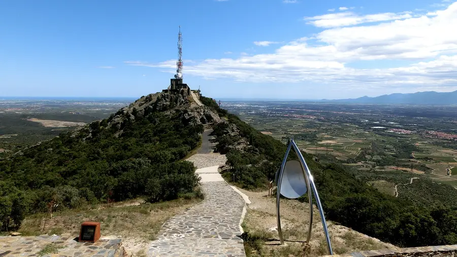
IT and cybersecurity
Data networks and security auditing designed for remote camps and isolated operations, where support is not around the corner.
View the service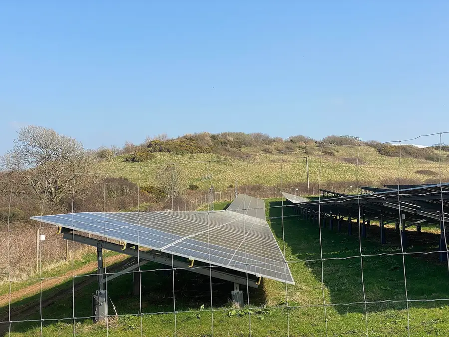
Camp supply
Provisioning of remote camps: food, solar power and supplies, coordinated through the same logistics that moves mineral operations.
View the serviceWorth reading first
Our latest coverage of mining in Venezuela, with official sources.